-40%
Garmin 010-02331-01 Echomap 64Cv Uhd Combo Us Offshore G3 Gt24 Transducer
$ 316.79
- Description
- Size Guide
Description
Garmin 010-02331-01 Echomap 64Cv Uhd Combo Us Offshore G3 Gt24 TransducerGarmin ECHOMAP 64cv UHD
Combo US Offshore g3 with GT24 Transducer
Model: 010-02331-01
See below your boat in incredible detail with optional transducer
Navigate any waters with preloaded BlueChart® g3 coastal charts
Manage your marine experience from nearly anywhere
Create your own maps on the fly and tailor them to fit your needs
The sunlight-readable 6" touchscreen chartplotter features a quick-release bail mount, and the transducer bundle adds Ultra High-Definition scanning sonar and CHIRP traditional sonar.
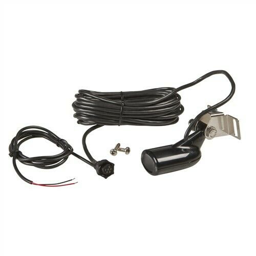
This chartplotter comes with a GT24 transducer for Ultra High-Definition ClearVü scanning sonar, which shows you a crystal-clear image below your boat. Plus, you get Garmin high wide CHIRP traditional sonar for remarkable target separation.
Experience unparalleled coverage and detail with preloaded LakeVü g3 inland maps featuring integrated Navionics® data that covers more than 17,000 lakes with up to 1’ contours.
Create personalized fishing maps on-screen with 1’ contours. Keep the data to yourself, or share it with the Quickdraw Community on Garmin Connect™.
Connect to autopilots, digital switching, weather, FUSION-Link™ audio system, media, VHF, AIS and more from one screen.
Built-in Wi-Fi® connectivity pairs with the free all-in-one mobile app for access to the OneChart™ feature, smart notifications1, software updates, Garmin Quickdraw™ Community data and more.
Specifications
General
Physical dimensions8.6" x 5.1" x 2.6" (21.8 x 13.0 x 6.2cm)
Display size5.4" x 3.1"; 6.2" diagonal (13.7 x 7.7 cm; 15.2 cm diagonal)
Display resolution480 x 800 pixels
Display typeWVGA display
Weight1.6 lbs (0.7 kg)
Water RatingIPX7
Power consumption12W
AntennaInternal or external over NMEA 2000
Mounting optionsBail or flush
Receiver5 Hz
Garmin Marine Network™ portsNone
Maps & Memory
Preloaded mapsBlueChart® g3 (coastal maps)
Accepts data cards1 microSD™ card; 32 GB maximum size
Waypoints5,000
Routes100
Track log50,000 points; 50 saved tracks
Outdoor Recreation Features
Tide tablesYes
Chartplotter FeaturesYes
Garmin Sonar compatible
Supports AIS (tracks target ships position)Yes
Supports DSC (displays position data from DSC-capable VHF radio)Y


