-40%
Garmin echoMAP 53cv Fishfinder - READ DESCRIPTION!
$ 171.6
- Description
- Size Guide
Description
UNIT ONLY! ITEM IS UNTESTED!5-inch Combo with Great Features for the Money
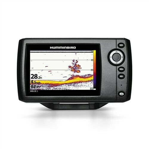
High-contrast color display with keypad control with preloaded Garmin LakeVü™ HD maps
Built-in ClearVü scanning sonar with the clearest images on the water
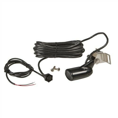
Built-in 500 W (RMS) HD-ID™ sonar (4,000 W peak-to-peak)
5 Hz Internal GPS updates position and heading 5 times per second
Tilt/swivel quick-disconnect mount
echoMAP 53cv includes a 5-inch high-contrast color display with automatic backlight adjustment. Fast, responsive 5 Hz GPS/GLONASS refreshes your position and heading 5 times each second to make your movement on the screen more fluid. It also supports Minn Kota® and MotorGuide® trolling motors with integrated transducers. The combo's cords plug directly into the mount, allowing you to quickly install and remove your device from power and the mount.
Clearest Scanning Sonar on the Water
Garmin ClearVü scanning sonar gives you a nearly photographic image down to 750-feet below your boat. You clearly see structure, submerged objects and fish! Traditional Garmin HD-ID sonar and ClearVü scanning sonar are combined into one transducer. Also provides HD-ID support for Minn Kota and MotorGuide trolling motors with integrated transducers. The echoMAP 53cv also includes sonar-recording capability that coordinates the timing of the sonar return with your boat's position and saves digital information for playback on a computer using free HomePort planning software. Use the User Data Sharing Cable to share waypoints and routes between multiple devices.
Preloaded LakeVü HD Maps
These highly detailed freshwater maps include 17,000+ U.S. lakes, rivers and reservoirs (more than double the number of preloaded lakes of any competitor). That number also includes more than 6,700 HD lakes with 1-foot contours shoreline to shoreline (again, two times more than our competition). LakeVü HD gives you excellent detail of underwater features plus Safety Shading that allows you to designate a minimum depth; interstates, highways, general roads and bridges; designated fishing areas; and points of interest, such as docks, boat ramps, marinas and campgrounds.
Heading and Position Refreshed 5 Times per Second
Fast, responsive 5 Hz GPS/GLONASS refreshes your position and heading 5 times each second to make your movement on the screen more fluid. It makes dropping up to 5,000 accurate waypoints and finding your way back to your secret fishing hot spots quick and easy.


